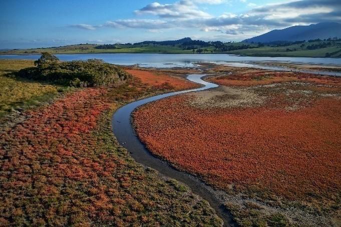
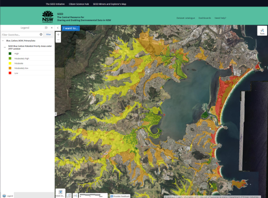
NSW Blue Carbon datasets are now available to access via the Dataset Catalogue. This dataset shows what areas in NSW have the most 'blue carbon' potential.
Blue carbon is the carbon stored in coastal and marine ecosystems such as mangroves, tidal marshes and seagrasses. Scientific assessments show that blue carbon ecosystems can sequester (or store) two to four times more carbon per hectare and store it 30-50 times faster than land-based forests.
These coastal ecosystems are now recognised for their role in mitigating climate change.
The NSW Government has assessed and mapped the blue carbon storage potential of areas across coastal NSW and identified the areas most suitable for re-establishing coastal wetlands.
The data comes from The Department of Primary Industries (DPI) Fisheries Wollongong University collaborative study, which assessed the blue carbon storage potential of areas across coastal NSW. The data is based on a paper by Rogers et al 2022. This blue carbon research was conducted by DPI Fisheries and funded under the Marine Estate Management Strategy.
You can access a number of NSW Blue Carbon datasets via the dataset catalogue. These datasets give vital information on the indication of blue carbon across NSW, potential priority areas, preservation, and storage. These datasets are important for planning, conservation efforts, and decision-making for the protection and sustainable management of blue carbon ecosystems.
- NSW Blue Carbon Stored within Coastal Quaternary Sediments
- NSW Blue Carbon Preservation for long-term sequestration
- NSW Blue Carbon Generation from existing mangroves and saltmarsh
- NSW Blue Carbon Indicator
- NSW Blue Carbon Compatibility under 2017 Landuse
- NSW Blue Carbon Permanency in Belowground Sediments
- NSW Blue Carbon in watersheds of Instream Barriers
- NSW Blue Carbon Potential Priority Areas
You can also visualise the data on the SEED map.
[Header image: DPI Fisheries]


