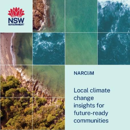
What is NARCliM?
The NSW and Australian Regional Climate Modelling (NARCliM) project helps us understand and prepare for the impacts of climate change. It supports decision-making across sectors in New South Wales, helping to build resilience for the future.
Why is this important?
NARCliM climate projections provide critical information for planning and decision making to manage risks like bushfires, floods, droughts, and heatwaves. This helps ensure that communities and infrastructure are prepared to face these challenges.
Real-World Applications
As extreme weather events become more common, NARCliM projections provide strategies to reduce their impact on infrastructure, businesses, health, industries, and communities. For example, when temperatures exceed 40°C, railways need to be monitored and train speeds reduced to prevent derailments. NARCliM data helps us plan for and adapt to such rising temperatures. This is just one example of how trusted data from the NSW Government helps prepare for changing conditions.
NARCliM 2.0 Data on SEED
SEED’s interactive map allows users to combine NARCliM data with other datasets, like bushfire-prone land or species sightings, providing deeper insights into climate impacts. This helps users make informed, data-driven decisions to help protect infrastructure, ecosystems, and communities from climate risks.
To Learn More About NARCliM:
- Watch a video series to dive deeper.
- Visit the AdaptNSW website.
- Explore the NARCliM data on SEED.